Msida - Gzira - Sliema ©Yuriy Buriak
We walked twice along this route - in the afternoon and early in the morning, to make beautiful pictures of sunrise.

Sunrise over Valletta ©Yuriy Buriak

Sunrise over Valletta ©Yuriy Buriak

Sunrise over Valletta ©Yuriy Buriak
In the afternoon we started from Msida. Here stands Msida Parish Church, which is often appears on the pictures of Malta. All towns are followed one by one without borders, so you will not understand where is the beginning of the next town.

Msida Parish Church ©Yuriy Buriak

Msida Parish Church ©Yuriy Buriak
Promenade here is not particularly wide, but without tourists, so even during the day you can walk alone. Msida was formerly a fishing village and it is not surprising that today there are a lot of fishermen along the waterfront. Nowadays Msida is a university town, here located the University of Malta.

Msida ©Yuriy Buriak
Boats and yachts are everywhere, seems like every citizen of Malta has its own watercraft.

Msida ©Yuriy Buriak

©Yuriy Buriak

Msida ©Yuriy Buriak
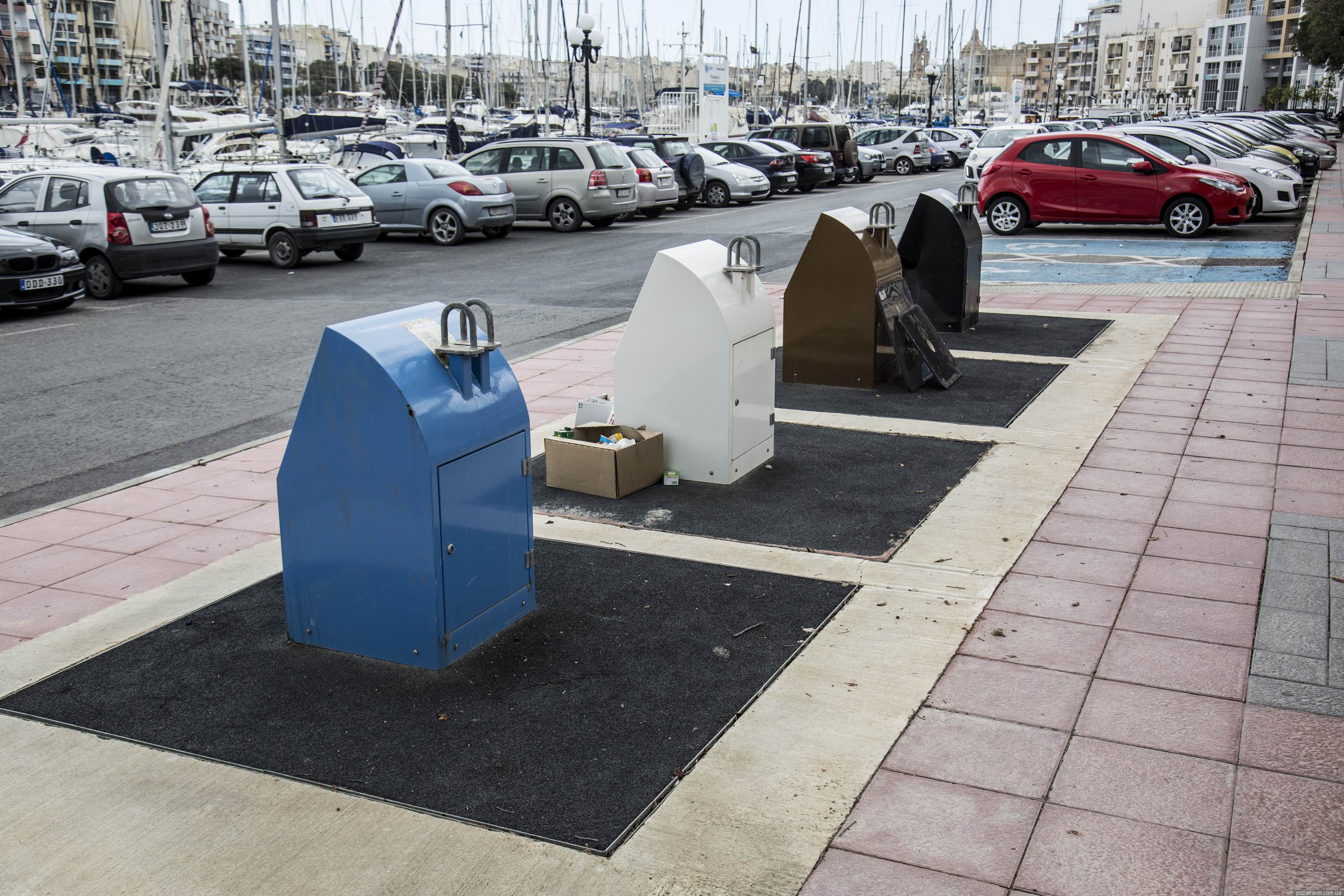
Underground trash cans.
Msida ©Yuriy Buriak
Closer to the Gzira promenade begins to expand.

Gzira ©Yuriy Buriak
Word "gzira" in maltesian means island and here is the Manoel island which gave the name to the town. On the island we saw a Duck village. Judging by the title, before it was the home to ducks, but now here live also cats, guinea pigs, chickens. The island itself is closed to the public.

Duck village ©Yuriy Buriak

Duck village ©Yuriy Buriak

Duck village ©Yuriy Buriak

Duck village ©Yuriy Buriak
Sliema is crowded, it is the main tourist town of Malta. Old houses are replaced with new skyscrapers.

Sliema ©Yuriy Buriak

Sliema ©Yuriy Buriak
Here we finally saw the symbol of Malta - old bus. Unfortunately, a few years ago they were replaced by new buses.
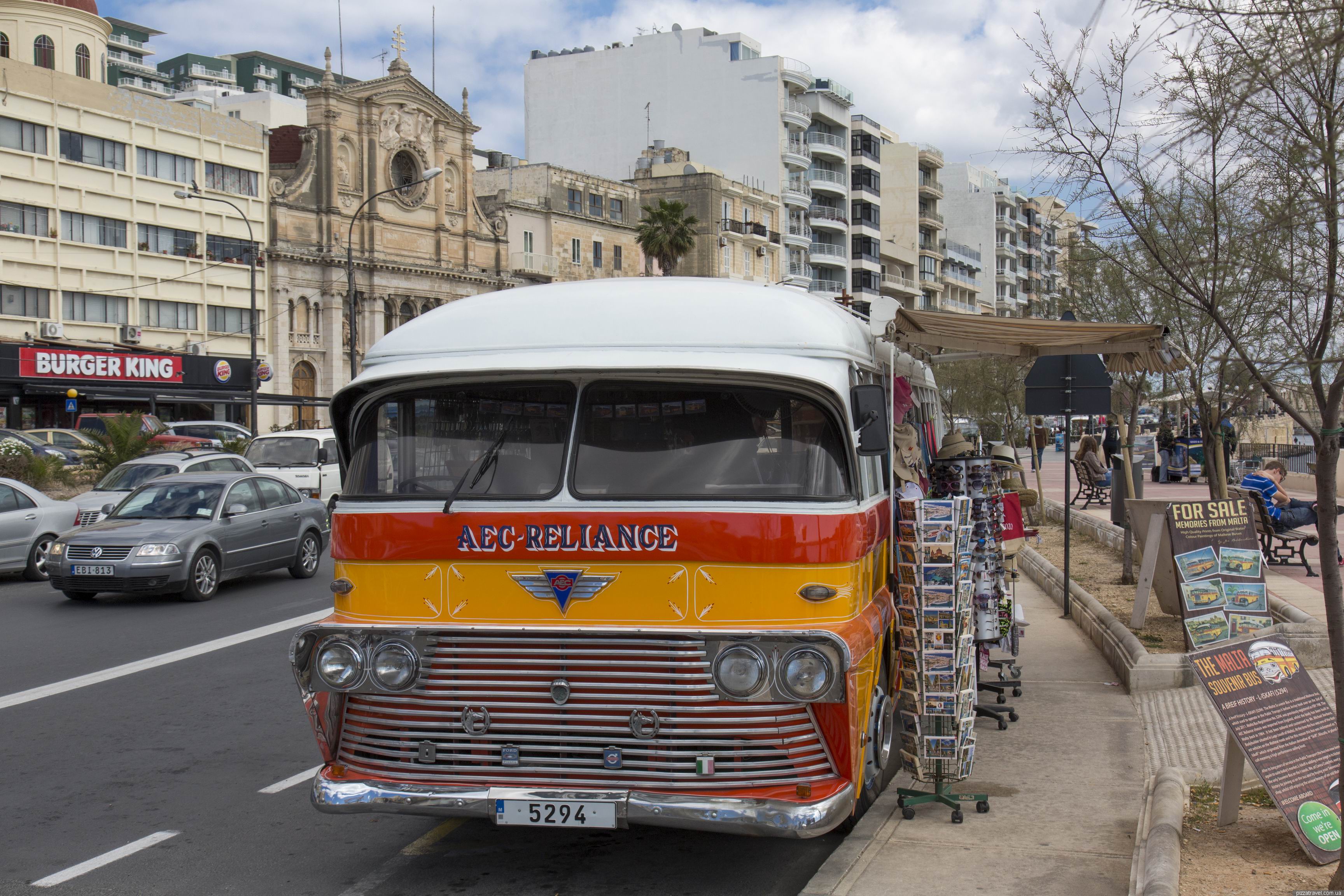
Sliema ©Yuriy Buriak
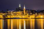
Best views of Valletta are open from the Sliema waterfront.

Valletta ©Yuriy Buriak
Since we lived in Valletta, we went back on the ferry, which is very convenient.
Getting there: Use the buses 12, 13, 15 (schedule) and 21 (schedule) which run along the waterfront.