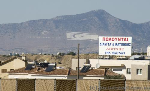
Nicosia is the capital of Cyprus, but the city is not popular among tourists. It is the only major city in the country, which is located not at sea, and the last city in Europe divided between the two countries. Since 1974, there is a border right in the center of the city between Cyprus and the Turkish occupied territory. Giant flags can be seen on the Turkish side when approaching Nicosia.
The border is guarded by the UN troops, but it's not difficult to get to the other side. Until 2003, the Greek Cypriots could not visit the northern part of the island. From that time began a systematic demolition of the wall sections and creation of checkpoints. During our walk we missed one of them on the Ledra Street and walked into the middle area. We didn't have plans to walk in the Turkish part, so we immediately turned back, though had to explain to the military who we were and whether we had a visa of Cyprus :)
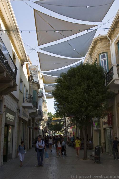
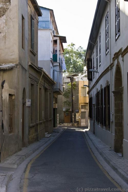
There are several pedestrian streets for tourists in the old city of Nicosia, where we walked. It's not easy to navigate here without a map, so if you come by bus, then look for the City Hall that is located not far from the bus station. Pedestrian streets start from there. By the way, in these streets the fiercest fighting against the British for the independence of Cyprus took place in 1955-59.
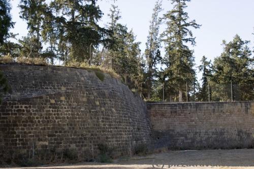
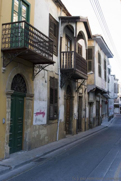
The central part (the old city) of Nicosia looks pretty interesting on the map. It's a huge eleven-corner bastion with well preserved walls, built in 1570. But actually it's more common residential blocks than the old city. 2-3 hours will be enough for a walk.
Getting there: Nicosia is connected by buses with all major cities of the country and the airport in Larnaca (list of buses, at the end). Own airport is closed.
