One of the most spectacular places in the Carpathians is a karst bridge in the biosphere reserve near the Mala Ugolka village. The route starts near the administrative building of the reserve. Walk or drive to the end of the normal road in the village; then turn right and move across a pedestrian bridge to the opposite bank of the small river. Administration building is to the left, and the route beginning is across the bridge and to the right. The trail starts right behind the local school.
We should go over there. ©Yuriy Buriak
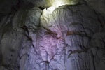
This is a really unique place. It's hard to get here, the road is awful, and during a year the trail is visited only by several thousands of tourists. The vertical drop is 450 meters. The karst bridge itself is located at the end of the route. According to scientists, it was formed during the times when the Carpathians were a seabed.

Karst bridge in the Carpathian Biosphere Reserve ©Yuriy Buriak

Karst bridge in the Carpathian Biosphere Reserve ©Yuriy Buriak
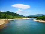
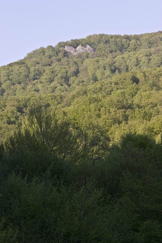
There are several other interesting places on the trail. Great views of the Tysa canyon and the Romanian part of the Carpathians open from the Chur cliff. And below is the largest cave of the Ukrainian Carpathians - Druzhba (Friendship). The length of explored passages is about 1 km. But it's not equipped for tourists, even the entrance is quite difficult.

View from the Chur cliff ©Yuriy Buriak
The trail is marked by several indexes, so you won't get lost. Note that there's no tourist infrastructure on the trail. Full walk will take at least 4 hours, take water and sandwiches. Although you can collect water from the streams. Another important point - your mobile phone may not work.
The route is interesting for several reasons. First, it ends up with something, in this case the bridge. Secondly, the entire trail passes through a virgin beech forest, which is included in the UNESCO World Heritage. There are only 4 UNESCO objects in Ukraine.

Virgin beech forest ©Yuriy Buriak

Virgin beech forest ©Yuriy Buriak
This route can be combined with the route to the Molochnyi Kamin (Milk Stone) cave. Go up to the bridge, then don't go down, go through the woods instead, then pass to the bridge and go down to the Velyka Ugolka village. In this case the route will extend for the entire day. But don't go alone, you'll just get lost. Try to find a GPS track in the Internet.
A detailed description of the route can be found on the reserve's website (route #2). If it's still not translated, use the Ukrainian version and online translation tools.
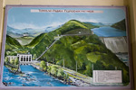
Getting there: Drive through the Mala Ugolka village until the end of the road and the biosphere reserve building. Then continue on foot along the eco trail. The map shows the beginning of the trail.