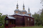
Trahtemirivski peninsula is a nice place on the banks of the Dnieper. Its territory of the State Historical and Cultural Reserve "Trakhtemiriv". According to archaeologists here were settlements 120,000 years ago. In the XVI century the village Trakhtemiriv was transferred to Cossacks, they built church, hospital, shipyard and a monastery. Unfortunately. npthing survived, only the numerous Cossack graves .
Even few years ago the entrance to the reserve was limited due to the hunting lodge of politic. However, in 2014 the situation has completely changed and you have the opportunity to see the countryside.
Roads on the peninsula are not in a good contition. If you travel by car then devide peninsula into two parts - left and right. On the left side there is a pretty good road to the villages of Velyki Bukrin and Trakhtemirov as well as to the hunting lodge. On the right side there is road to the village Grigorovka and to unfinished Kaniv PSH. There are no paved roads between the left and right sides, only dirt roads. We drove from the village of Velyki Bukrin to Grigorovka, but if you love your car, don't do this :)
So what we saw:

Map of Trahtemirivski peninsula ©pizzatravel.com.ua
Stopped at the lookout near the village of Trakhtemirov (N 49°58.332', E 031°19.796'). Here in the forest you can find quite a lot of German trenches of 1943. The Soviet army was on the other bank of the Dnieper.
In those years, the river was much narrower. The width of the Dnieper which opens from the lookout is about 8 kilometers. Because of filling the reservoir of Kaniv HPS, which began in 1974, dozens of villages were destroyed. From this point you can well appreciate the extent of what happened.
Unfortunately there are no Beaches, all the banks swamped.

View from the lookout ©Yuriy Buriak

German trenches ©Yuriy Buriak
Next went to the hunting lodge (N 49°59.084', E 031°20.173'). For a long time, the area around was closed and guarded. But now the owner run to Russia (as well as other bandits), and the guards disappeared! Everything is abandoned.

©Yuriy Buriak
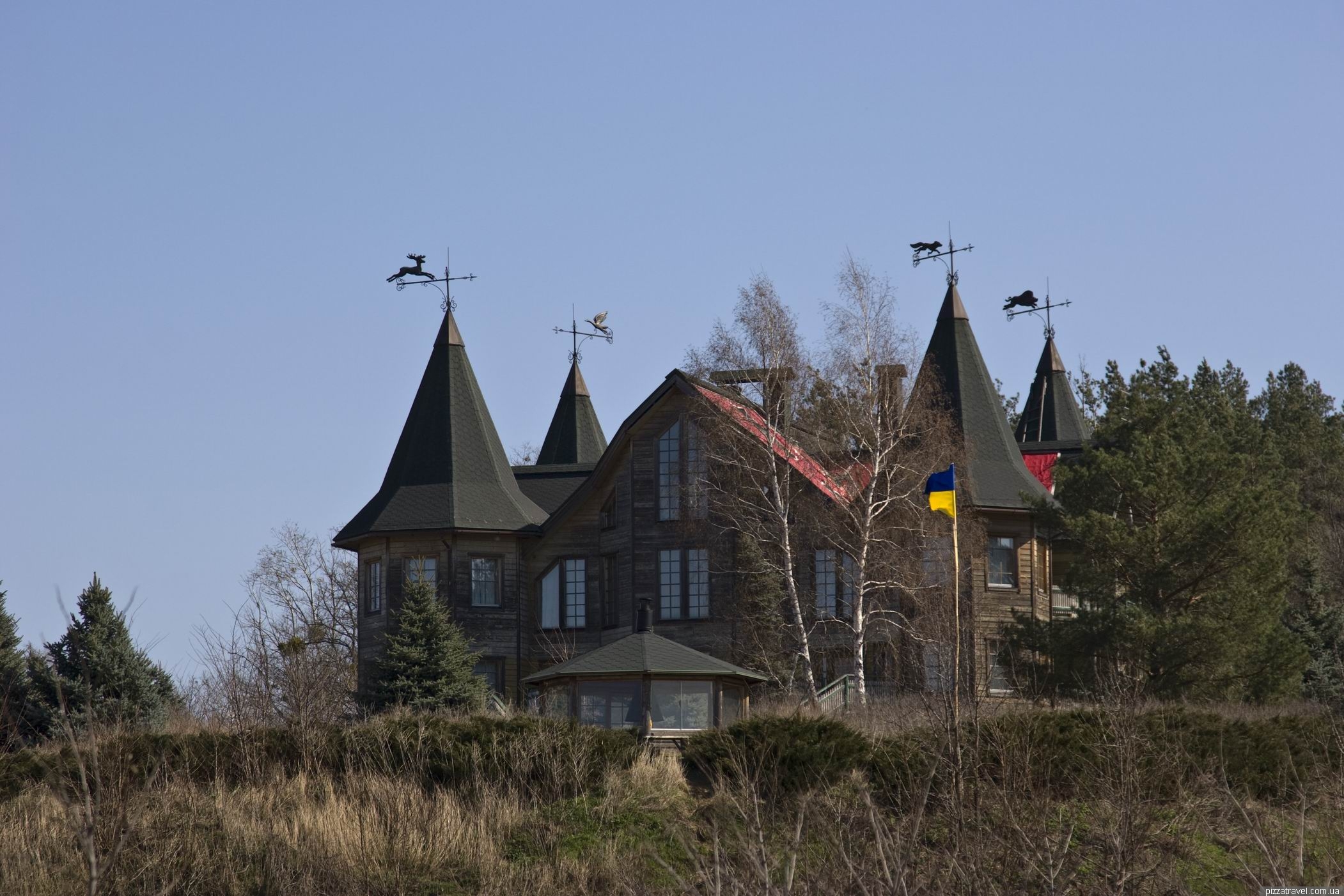
Hunting lodge ©Yuriy Buriak

Hunting lodge ©Yuriy Buriak

Hunting lodge ©Yuriy Buriak
On the stripe is written - Belongs to the ukrainian people

Now is a state property ©Yuriy Buriak
Lodge has interesting weathervanes, all different.

Weathervane on the hunting lodge ©Yuriy Buriak

Weathervane on the hunting lodge ©Yuriy Buriak

Weathervane on the hunting lodge ©Yuriy Buriak
And gate with small hogs.

Gate with hogs ©Yuriy Buriak
The whole area around the house is tiled. Why was it necessary to spend so much money?

Huge area near a hunting lodge, all tiled ©Yuriy Buriak

Abandoned equipment near hunting lodge ©Yuriy Buriak
There is a staircase to the water, but it is more safe to use the road.

Abandoned stairs from the house to the restaurant ©Yuriy Buriak
Downstairs there is an abandoned building made from Finnish wood, which was used as a restaurant.

Abandoned restaurant ©Yuriy Buriak

Abandoned restaurant ©Yuriy Buriak

Abandoned restaurant ©Yuriy Buriak

Abandoned restaurant ©Yuriy Buriak

©Yuriy Buriak
In the forest near the lodge there is a grave of Soviet soldiers.

©Yuriy Buriak
And abandoned Cossack cemetery (N 49°58.924', E 031°20.357'), which is a local historic landmark. At the cemetery can be found a relatively recent graves and real Cossack graves of 18th century.

Старовинне козацьке кладовище ©Yuriy Buriak

Старовинне козацьке кладовище ©Yuriy Buriak

Старовинне козацьке кладовище ©Yuriy Buriak
Some graves are still visited

©Yuriy Buriak
Among the graves are many places where forest animals sleep. Why they like to sleep on the cemetery?

A place where wild animals are sleeping ©Yuriy Buriak
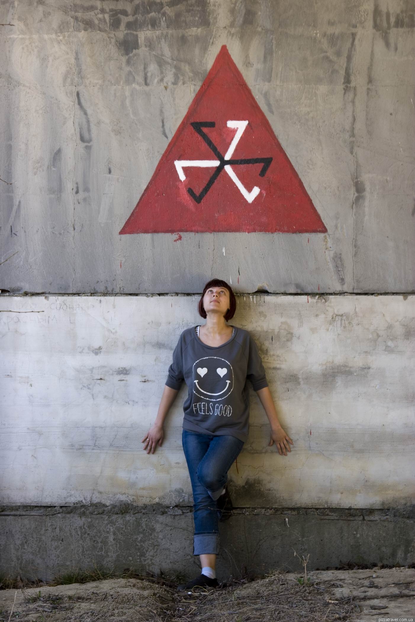
On the shore is also growing interesting tree that resembles a cross or a trident.

Tree-trident ©Yuriy Buriak

Swampy coast ©Yuriy Buriak
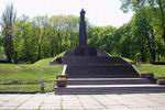
Next we went to the village of Velyki Bukrin where visited ruins of some old estate (N 49°56.703', E 031°18.453'), which will be interesting only to historians. In Soviet times there was a school.

Some abandoned estate in the village of Great Bukrin ©Yuriy Buriak
From Velyki Bukrin we got to Grigorovka on the the dirt road. Find this road without locals and GPS is simply unrealistic.

If you are alone, the GPS is required ©Yuriy Buriak
In Grigorovka started paved road and we reached the unfinished Kaniv PSH (N 49°51.168', E 031°27.046'). The road will lead you to a huge concreted area near the water. PSH is located to the right if you look on the water.

Unfinished PSH near Kanev ©Yuriy Buriak
PSH need to regulate voltage. It's consumption falls in the afternoon, so during the day, electric pumps will pump water into the lake on the mountain. And in the evening during peak hours, it will fall to the turbines and increase the voltage to the required level. On December 11, 2013 the Cabinet of Ministers of Ukraine approved the new construction project with a cost of about $1.2 billion. Construction will be continued soon.
But at the moment the territory of PSH more like the set of postapocalyptic movie. Despite the desolation the place is interesting. Of course we do not understand the needs of constructions. For example, Nastya stands above a huge tunnel that goes up behind her.

Over a huge underground tunnel ©Yuriy Buriak
You can go down in the tunnel, although it is scary place. Light breaks through the holes and you can see that it is quite long.

Unfinished PSH near Kanev ©Yuriy Buriak

Unfinished PSH near Kanev ©Yuriy Buriak
Above ground

Tunnel beneath us ©Yuriy Buriak
There are several such tunnels of different lengths here. Probably they will be used for water falling down from the upper lake.

Unfinished PSH near Kanev ©Yuriy Buriak
There are office buildings, which are excellent for airsoft. Used by young people for parties.

Unfinished PSH near Kanev ©Yuriy Buriak

Unfinished PSH near Kanev ©Yuriy Buriak

Unfinished PSH near Kanev ©Yuriy Buriak

Unfinished PSH near Kanev ©Yuriy Buriak

Unfinished PSH near Kanev ©Yuriy Buriak

Unfinished PSH near Kanev ©Yuriy Buriak

©Yuriy Buriak
Unfinished PSH near Kanev ©Yuriy Buriak

Unfinished PSH near Kanev ©Yuriy Buriak
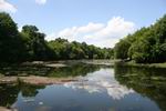
Approximately 1.5 km to the left of the paved area is picturesque lake Buchak (N 49°51'57.4" E031°26'04.6"). It can be reached by car. Climb the hill, from the top open great views.
This artificial pond will serve as the lower lake, from which the water will be pumped to the upper lake. So hurry up to see it, before construction will continue.

Buchak lake ©Yuriy Buriak
How to get there: From Kiev (Vydubychi bus station) bus runs to the Velyki Bukrin. There are several runs: 7:40 and 15:20 (2 hours 30 minutes to go). Back at 10:25 and 17:40. From the bus stop to the hunting lodge is about 5 kilometers, you can walk. Be sure to take map and GPS.